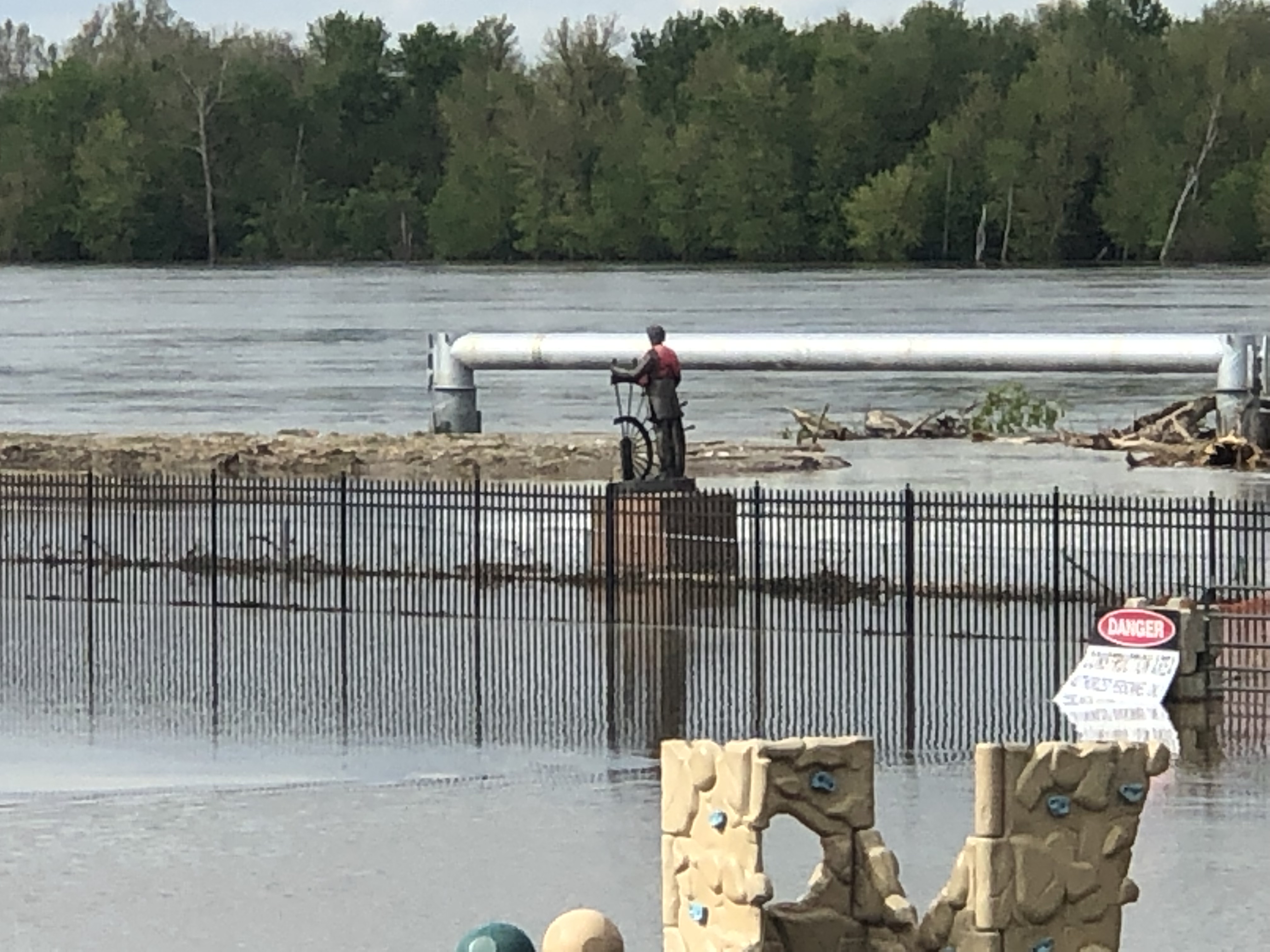
Multiple areas in the state have seen historic flooding this year, displacing homes and causing cataclysmic damage to farms around the Missouri and Mississippi Rivers.
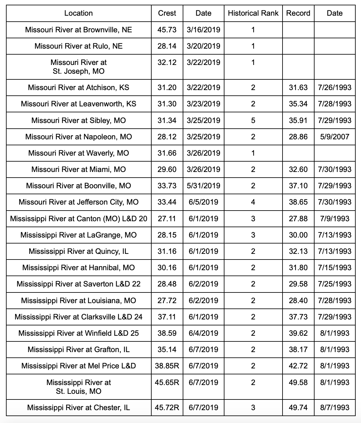
Two locations across Missouri reached historic crest levels in 2019, all along the Missouri River, according to data from the National Weather Service’s hydrologist. Those locations are St. Joseph (32.12) and Waverly (31.66).
Additionally, two locations in Nebraska along the Missouri River reached historic levels this year: Brownville (with the highest of 45.73) and Rulo (at 28.14).
The highest crest level recorded in Missouri was in August of 1993 in St. Louis along the Mississippi River at 49.53. During that time in Chester, Illinois, the Mississippi River crested at 49.74.
Earlier this month, President Donald Trump signed a $19.1 billion disaster aid bill — meaning relief for the storm-ravaged Missouri is on the way.
Below is a chart from the National Weather Service showing the historic crest levels across the state.


Kaitlyn Schallhorn was the editor in chief of The Missouri Times from 2020-2022. She joined the newspaper in early 2019 after working as a reporter for Fox News in New York City.
Throughout her career, Kaitlyn has covered political campaigns across the U.S., including the 2016 presidential election, and humanitarian aid efforts in Africa and the Middle East.
She is a native of Missouri who studied journalism at Winthrop University in South Carolina. She is also an alumna of the National Journalism Center in Washington, D.C.
Contact Kaitlyn at kaitlyn@themissouritimes.com.


