There has now been a few additional hours to analyze the new senate map, and we thought we would take a look at the map overall, district by district.
The biggest difference in this map and that previous map is that it shifts the weight of some of the districts from rural weighted districts to evenly split districts and even enhances the suburban influence inside several republican seats.
Now the overall reaction to the maps have been pretty harsh to say the least, however it all comes down to whose ox is getting gored.
If your reading this over the top of your mask while sipping your Starbucks sitting in your Prius on some cul-de-sac in the suburbs then you probably love this map.
However, if you’re reading this sitting on the tailgate of your pickup while dranking a Budweiser parked off a gravel road…well there ain’t much here you’re gonna like.
Again there really isn’t a good or bad with a map it’s just winners and losers. This map could be good or bad depending on your taste for republican, or right wing republican politics and if you grew up in a subdivision or on a gravel road.
Overall: There is one pretty direct flip in this map where it gives democrats a very likely pick up in SD19 in Boone County. Unless national democrats really get in the way of voting trends SD8, SD30, SD15 will be competitive districts when the incumbents in those districts term out, and at some point in the next decade SD23 could be competitive. However, SD11 is a democrat held district that those same national trends are making competitive right now and without Senator Rizzo being one of the best politicians in the state would have went republican with President Trump.
The former map produced 19 solid republican districts, 6 solid democratic districts, and 9 districts where competitive races were ran. Those nine break down 5 republican and 4 democrat giving a pretty consistent 24-10 republican advantage.
This cycle, the new map produces 7 solid democratic districts, and 3 likely democratic districts. On the republican side the new map produces 18 solid republican districts, and 3 more likely republican districts. That leaves 2 seats that are going to be fought over once their incumbents leave office, SD11 in Independence, and SD30 in Springfield.
In a very good year for republicans they can maybe push their total to 25, but in average years they are likely to maintain a something of a 23-24 seat majority. If good democratic years line up with open seats they can maybe get to 13 seats under this map, and in a watershed year they might even compete in either the 23rd or 34th and get to 14. However, its more likely the republican majority floats between 22-24 for the decade depending on national trends under this map.
While the initial reaction from most has been pretty universally negative toward the final product of the map, I’m not sure if it is the worst map ever produced by a judicial commission; let’s look at the map district by district
SD1 (D+7.2) Senator Beck picked up more of Webster Groves, and actually lost some of his more republican territory around Sunset Hills. He will be in good shape for re-election, and likely his successor will start off as the favorite. The only republican that can move the needle in this part of south county is Donald Trump, or maybe Rep. Jim Murphy.
SD2 (R+18.4) This west St. Charles County district is pretty much the same; it just experienced a growth in population, so it had to change its footprint. Not that anyone cared before, or would now, but it does place Rep. Schroer’s actual house in the senate district.
SD3 (R+29.9) Everyone knew pretty well going into the process, that the third was going to be picking up more of rural Missouri, and it did, picking up Crawford and Washington Counties. This district is probably an easier fit for Rep. Mike Henderson should Senator Gannon choose not to seek re-election.
SD4 (D+48.8) The fourth has very radically changed, again to reflect the city’s population loss. The City of St. Louis lost population; so while the fifth stayed completely inside the city, it had grown quite a bit, now running all the way down the riverfront. The length of the city leaves only about a third of the southwest of the city in the fourth.
SD5 (D+80.5) The fifth has very radically changed to reflect the city’s fairly dramatic population loss. It breaks out of the city all the way down I-44 into Richmond Heights, Brentwood, Shrewsbury, and Rock Hill. It is still a city district, but it’s pretty close, and if some trends don’t reverse in ten years it won’t be a majority city district.The fifth has very radically changed, again to reflect the city’s population loss. The City of St. Louis lost population; so while the fifth stayed completely inside the city, it had grown quite a bit, now running all the way down the riverfront. The length of the city leaves only about a third of the southwest of the city in the fourth.
SD6 (R+42.4) The district that hosts the capitol gave up Osage and Maries and picked up Camden County. It will be served by a citizen of the City of Jefferson for the next ten years.
SD7 (D+47.6) The seventh changed a little, picking up some of the ground around the riverfront on the northern edge of the district.
SD8 (R+4.4) The eighth has been a microcosm of the country, where some affluent suburban voters have been drifting to the democratic party, albeit slowly in Missouri. Senator Cierpiot is a shoe in for re-election, especially in the Biden mid-term we are entering into. However, this would be a prime pickup target for democrats in 2026, behind someone like Rep. Ingle.
SD9 (D+59.2) The Freedom Inc. district picked up some more of the Raytown area, other than that it will be pretty much the same district. Their senator will be selected in the same manner as Senator Washington, who is an easy bet for re-election in the ninth.
SD10 (R+31.3) The tenth traded Monroe, Warren, and Audrain Counties for Pike County, due primarily to the growth of Lincoln County into almost a suburban county of St. Louis. The judges in what is a “subtle or who knows it’s so obvious that maybe it’s a not so subtle” shot at the Governor could have let Rep. Pietzman draw this district himself. Either way it sets up a big primary this summer with Rep. Fitzwater.
SD11 (R+3.1) The 11th has seen the exact same trend as the eighth, however, in the 11th it’s the blue collar workers that are moving to the republican party. Look for someone like Rep. Kidd on the republican side in a big time primary, with someone like Rep. Sauls on the democrat side, are to have a barn burner in the fall of ’24 to fill some big shoes left behind by Senator Rizzo.
SD12 (R+44.9) The GREAT northwest always handles things their own way, and this time was no different. The district gave up their Clay County portion to pick up the suburban Gower side of Buchanan County and some counties to the east including Livingston where Rep. Rusty Black is now in the district and likely heading across the rotunda.
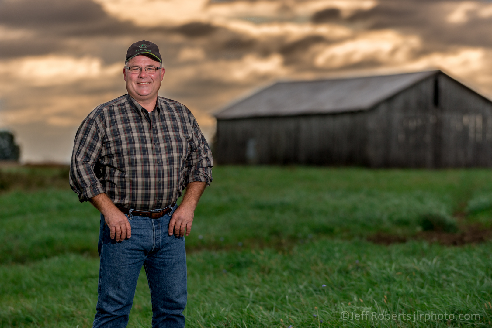
SD13 (D+62.5) The 13th stayed pretty much in tact as it was in the prior map only adding portions of Jennings and Hazelwood to the district.
SD14 (D+55.2) The 14th is also much the same, only losing some of the Clayton area, but it will be essentially the same make up for the next ten years and easily re-elect Senator Williams.
SD15 (R+5.5) Again in this map, 15th will be the only reliably republican enclave in St. Louis County. The district moved west to accommodate the rest of the area, picking up Wildwood and more of the Chesterfield area, while giving up some of the old district’s more democratic areas around Kirkwood.
SD16 (R+44.1) The judges really stuck it to Senator Brown here damn near like a vendetta. I’d hate to wear a robe to work and need something from him in the next few months. They not only took away Crawford, which is a clear community of interest with his home in Rolla, they also traded Camden County for Laclede County and then just for spite I guess, added Wright County for one of the oddest districts in the state. Senator Brown will still win handily, but if you drew ten maps it’s unlikely any of them would be worse than this one is for him.
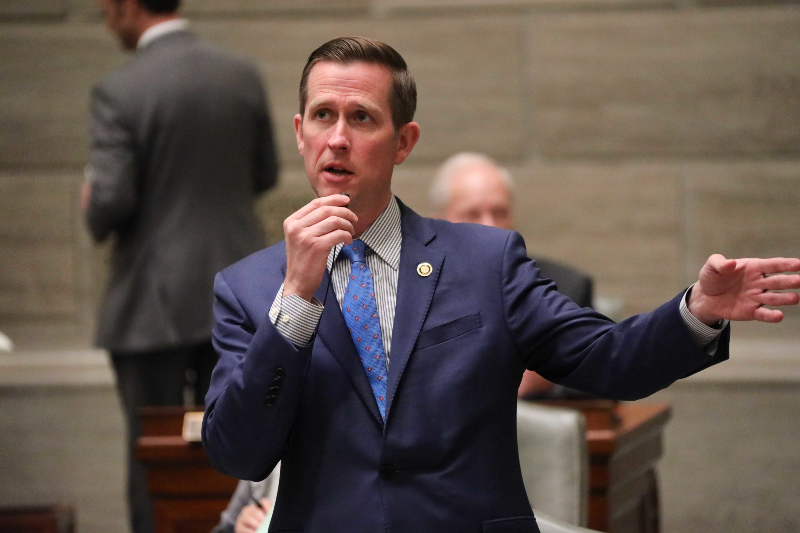
SD17 (D+6.3) Senator Arthur flipped this district in 2018, and it probably would have been flipped sooner except that Senator Silvey was a fantastic politician. The district changed very little in the new map, only shrank a small amount to the southwest corner of Clay County.
SD18 (R+44.0) The northeast Missouri seat essentially only gave up Linn and Chariton Counties in order to pick up Monroe and Audrain Counties. This way Senator O’Laughlin gets to be the senator for Missouri legend Kit Bond.
SD19 (D+8.4) This is the most likely pick up. The judges had no real choice because Boone County has just grown past the threshold where you could stick another adjoining county with it. For the last ten years that additional county has been the difference in keeping the seat republican. With it gone, it’s very likely the seat will go back to the democrats with either Stephen Webber or Mayor Brian Treece.
SD20 (R+43.3) The old 20th was the rest of Greene County outside the 30th, and all of Christian County has grown too much to remain one district. In its place is the rest of Greene that isn’t in the 30th, as well as Webster, Barton, and Dade Counties. The new lines don’t really affect the existing primary between Rep. Curtis Trent and businessman Brian Gelner, as it will really be settled in Greene County which will make up well over half the district anyway.
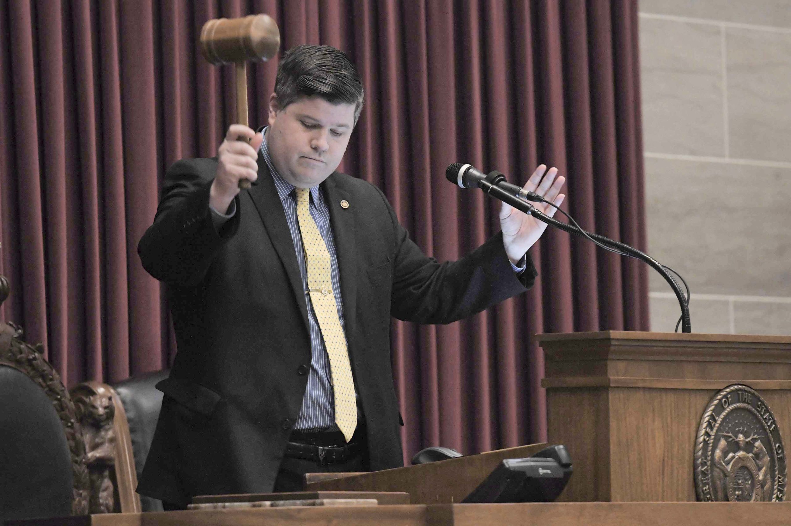
SD21 (R+24.5) Here is another head scratcher from the judges. Especially the ones from rural Missouri. They took Johnson County from the district and replaced it with…..wait for it…..the suburban voters of Clay County. There is literally no logic here from a rural Missourian’s view, but I guess it makes sense to those still wearing covid masks. I can’t really speak to that. The likely outcome is a rural vs. suburban primary in two years, but there didn’t have to be.
SD22 (R+14.1) Jefferson County stays pretty much the same, it just traded a little of the southwestern portion of the district for more of Festus and Crystal City of McKenna family fame. It may tempt Jefferson County Clerk Ken Waller into the race as he is from there, but as you know I’ve always predicted from the start that no matter how many people Rep. Vescovo promises that he won’t run for senate, that the angry ones never leave on their own. #SteinOfKnowledge
SD23 (R+5.3) The new 23rd is just the old 23rd that creeps a little farther northwest. Rep. Christofanelli is still the overwhelmingly likely successor to Senator Eigel.
SD24 (D+8.1) The new 24th is pretty radically different from the old 24th. In the past it stretched between Maryland Heights and Chesterfield. Now it stretches from Maryland Heights all the way to the JeffCo line in Fenton. The partisan breakdown is actually a little better for Rep. McCreery, but this new territory is ground she hasn’t been campaigning in. It would take literally a dozen unlikely things to cost her this seat, but these are Missouri democrats and they are creative.
SD25 (R+57.9) The 25th (the best district in the state) didn’t change a whole lot. It swapped Shannon County, the home of Kayla Hahn, for a more contiguous Wayne, Ripley, and Oregon Counties.
SD26 (R+31.9) The 26th is the anomaly here, where they made the district more rural by swapping some St. Louis suburbs for Warren, Osage, and the German enclave of Gasconade Counties. You assume this would hurt Ben Brown, who saw a large part of the district being in St. Louis County drop to just Eureka and Pacific, but in a three way he still has a marginal edge in a very competitive race where there is probably a number that if he raises that he can win.
SD27 (R+49.4) This used to be a Cape district until the Senator from “speaking her damn mind” Holly Rehder won it. She traded out some good hill country, swapping Wayne County for the home of the Battle of Pilot Knob in Iron County and Reynolds County.
SD28 (R+45.5) The new 28th is similar to the old 28th, with Senator Crawford remaining in the southwest corner of the district. They took Laclede County from her and gave her Vernon and Shannon Cooper’s home in Henry County.
SD29 (R+47.2) It appears some folks are looking to find a primary for Senator Moon as he trades Stone and Taney Counties, where had already won, for the republican primary vote-rich area of Christian County.
SD30 (R+1.9) Senator Hough’s district is barely changed, as it expands just outside the city of Springfield. He will be re-elected easily, but after him this will be a top tier competitive race in 2026 for someone like Rep. Quade on the democrat side.
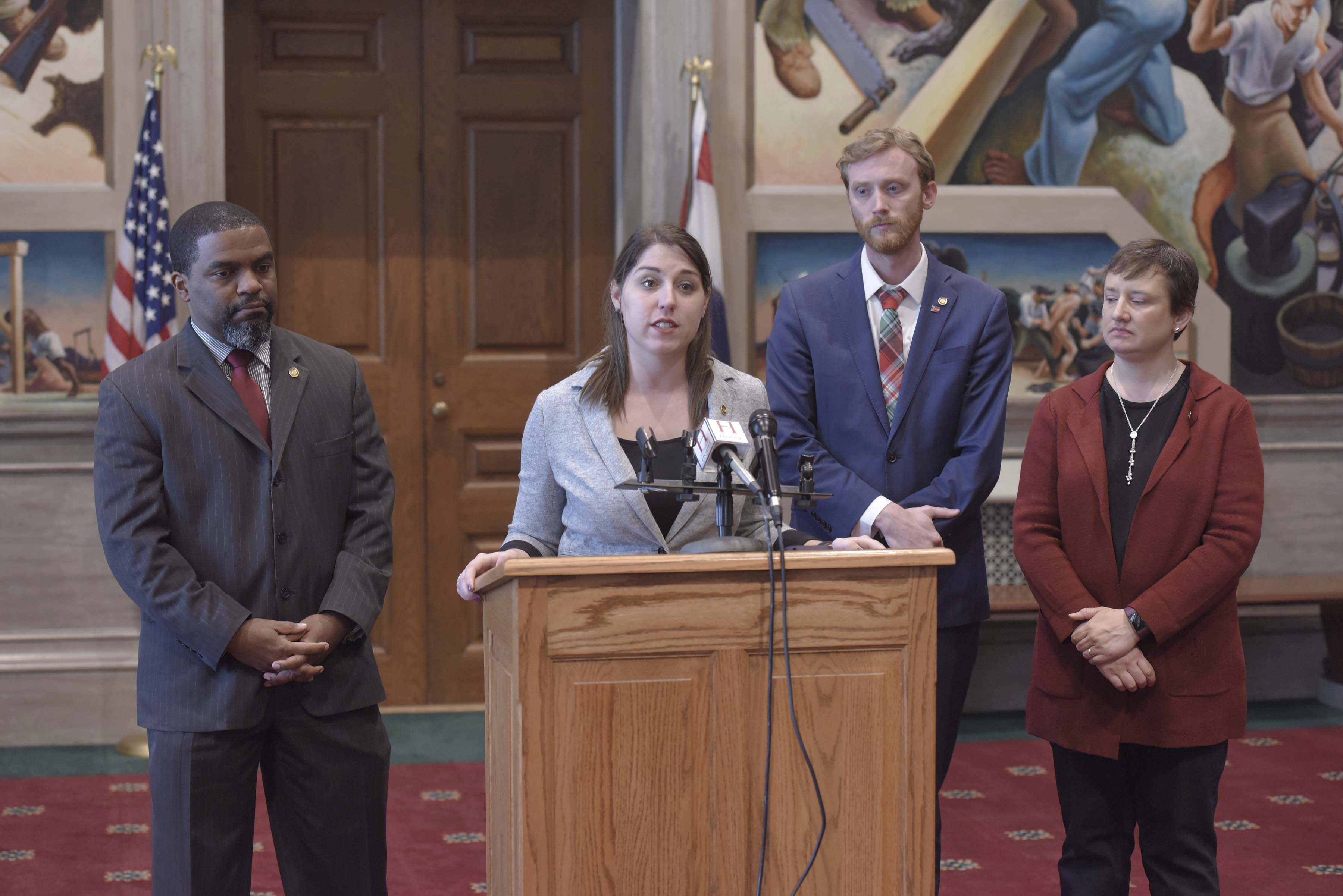
SD31 (R+28.3) Here is where the knife came out for rural Missouri. This decision seemed to lead to the silliness in the 21st and so on. They took the Cass County, plus several rural counties district of Senator Brattin, and shoved Johnson County into it. Cass is twice the size of Johnson and for whatever reason follows, the trend of reducing the rural senate districts in the state again. Maybe this makes sense at Starbucks, but at one of the coffee shops inside the filling station in rural Missourah, it’s the most head scratching decision, and where a lot of the criticism of this map starts.
SD32 (R+48.0) The Joplin district keeps growing and in this map the 32nd doesn’t need Dade County anymore to make a complete district. You have to figure Jasper and Newton Counties will make up the 32nd for several maps to come.
SD33 (R+54.2) Senator Eslinger’s district that boasts the home of Porter Wagoner got pretty well worked over taking in Stone, Shannon, and Taney Counties; having to give up Wright, Oregon, Ripley, and what had to be painful Webster County. The district went from being a Howell County centered district to pretty close to a Branson district. This was probably more fallout from the 20th having to be changed than anything else, but some will wonder why Texas didn’t go to the 16th and had Wright stay in the 33rd.
SD34 (R+6.3) The 34th has grown to the point where they were able to cut half of Buchanan County out of the district. Pretty tough break for folks in Buchanan County, and you wonder why some of the suburban voters from Clay County weren’t a better fit for the suburban voters in Platte County than they were for folks in Saline County. Either way, the ancestors of the Pony Express got the short end of the stick.
Scott Faughn is the publisher of The Missouri Times, owner of the Clayton Times in Clayton; SEMO Times in Poplar Bluff; and host of the only statewide political television show, This Week in Missouri Politics.


